

These items are sold. They have been placed here in our online archives as a service for researchers and collectors.
- Please inquire as to the availability of similar items currently in stock, or use the navigation bar above to browse our site for currently available items.
- Find guidelines for the use of images from georgeglazer.com.
- To see more archived items, view our directory.
- Find information about selling your art and antiques.
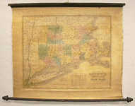
New England
Massachusetts, Connecticut, Vermont, New Hampshire & Rhode Island

Willem Janszoon Blaeu |
Map of New England |
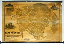
Cape Arundel, Kennebunkport Maine |
H. McIntyre |
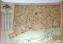
F.W. Beers |

Louis Prang & Co. (map) |
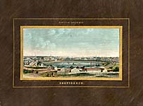
J. B. Beers & Co. |

[Maxfield S.] Gibbons |
Charles Magnus |
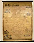
Cape Cod & Nantucket
H.F. Walling |
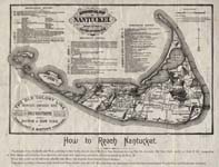
George Eldridge |
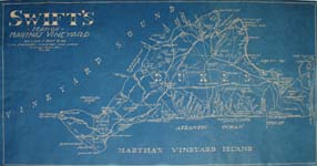
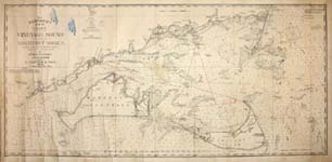
William S. Swift |

Mary E. Murray |

Mary E. Murray |

Cap Codd [Cape Cod] |

Coulton Waugh |

Lloyd Coe |
Rev. Ewer |

Jack Atherton |

Shemin and Royster |
Mid-Atlantic & Washington, D.C.
Including Pennsylvania

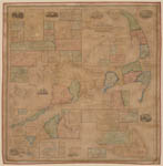
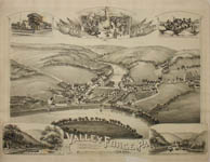
Peenpack Flats, NY |

Julius William Walters |
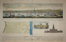
John H. Sherwin/ Louis N. Rosenthal |
T.M. Fowler |
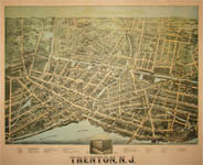
T.M. Fowler |

Hugh Robertson |

Hugh Robertson |
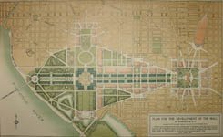
Plan for the Mall at Washington D.C. |
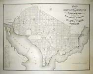
William J. Stone |

Edwin Olsen and Blake Clark |