Mary E. Murray
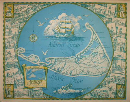
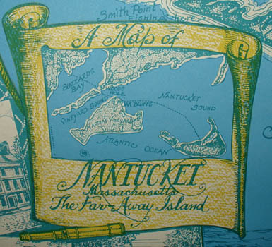
A Map of Nantucket, Massachusetts, The Far-Away Island
Mary E. Murray, Newtonville, Massachusetts: 1945
Color-process print
21.75 x 28 inches, overall
Sold, please inquire as to the availability of similar items.

A Map of Nantucket, Massachusetts
Pictorial Map by Mary E. Murray: c. 1945
Pictorial Map by Mary E. Murray: c. 1945
This item is sold. It has been placed here in our online archives as a service for researchers and collectors.
- Please inquire as to the availability of similar items currently in stock, or use the navigation bar above to browse our site for currently available items.
- Find guidelines for the use of images from georgeglazer.com.
- To see more archived items, view our directory.
- Find information about selling your art and antiques.
 |
 |
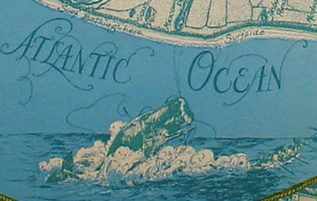
Map of Nantucket Island, surrounded by numerous illustrations of buildings, lighthouses, and vacationers enjoying activities such as bicycling and sailing. The map has simple cartography, showing ponds, harbors, beaches, roads and a few places of interest such as golf courses and the cranberry bog. The design incorporates references to the island’s heritage as a fishing port, with a picture of a clipper ship above the map and a whale below it, along with vignettes in the four corners of 19th century sailors.