Mary E. Murray
A Map of Interesting Cape Cod
Mary E. Murray, Newtonville, Massachusetts: 1945
Color-process print
21.5 x 32.25 inches, overall
Sold, please inquire as to the availability of similar items.

This item is sold. It has been placed here in our online archives as a service for researchers and collectors.
- Please inquire as to the availability of similar items currently in stock, or use the navigation bar above to browse our site for currently available items.
- Find guidelines for the use of images from georgeglazer.com.
- To see more archived items, view our directory.
- Find information about selling your art and antiques.
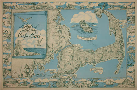
A Map of Interesting Cape Cod
Pictorial Map by Mary E. Murray: c. 1945
Pictorial Map by Mary E. Murray: c. 1945
 |
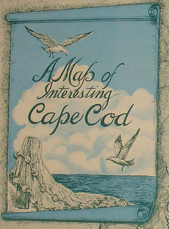 |
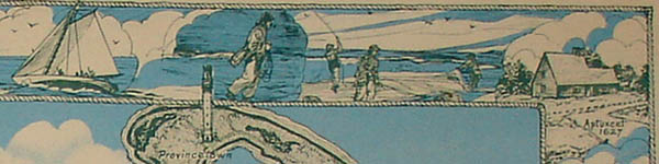
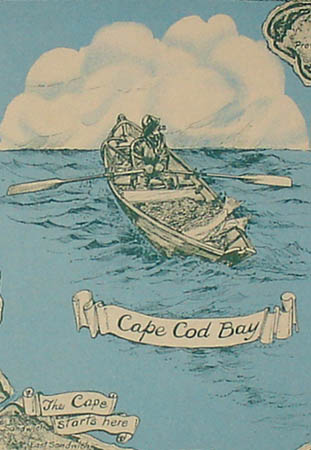
Map of Cape Cod, Massachusetts, surrounded by a continuous illustrated border showing buildings, lighthouses, and vacationers enjoying activities such as golf, hunting, fishing, sailing and sitting on the beach. The map itself has simple cartography, showing bays, sounds, towns, ponds, roads, and forests. There are three larger illustrations, one of two Pilgrims near Plymouth, one of a fisherman in a rowboat in Cape Cod Bay, and a rock and buoys with seagulls, which forms the background for the cartouche. The border is outlined with a rope design alluding to the area’s maritime heritage.