

These items are sold. They have been placed here in our online archives as a service for researchers and collectors.
- Please inquire as to the availability of similar items currently in stock, or use the navigation bar above to browse our site for currently available items.
- Find guidelines for the use of images from georgeglazer.com.
- To see more archived items, view our directory.
- Find information about selling your art and antiques.
17th & 18th Centuries
Lotter |

Johann Baptist Homann |
Johann Baptist Homann |
Guillaume de L'Isle |

Ortelius |
J. Wallis |

John Andrews |
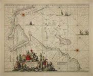
Frederick de Wit |

Pierre Mortier |
19th & 20th Centuries
 Edward Wallis
|

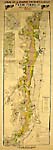
Calcutta Voyage of the |

Carte de France |
French Burgundy Wine Map |

Harold Haven Brown |
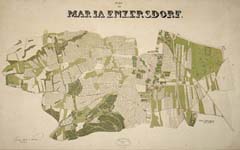
Maria Enzersdorf, Austria |

Emile Bernard & Co. |

Lehmann-Dumont/Thalmann |
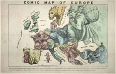
Comic Map of Europe |
A. Guibal |

Clément-Serveau and |
Steve Kaliher and Harry D. White |

Varvatis Brothers |