
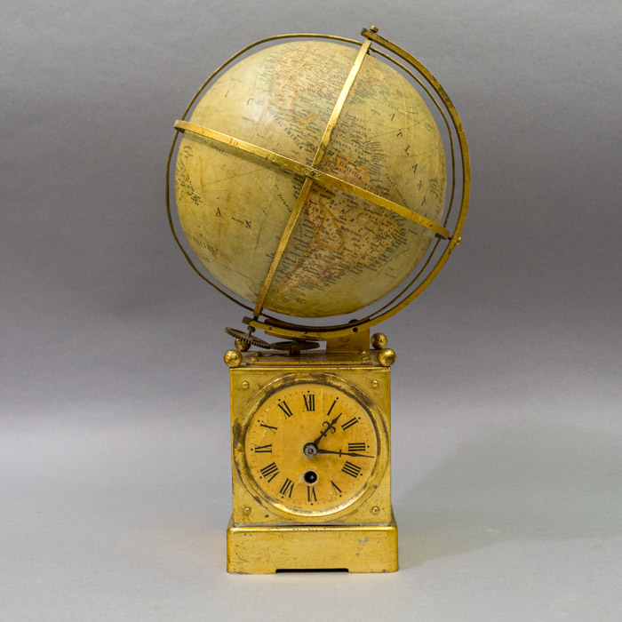


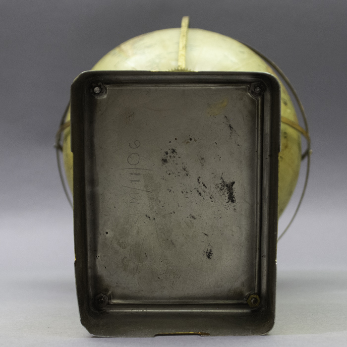
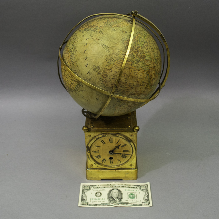
Description
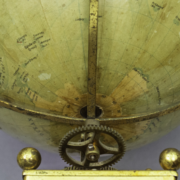
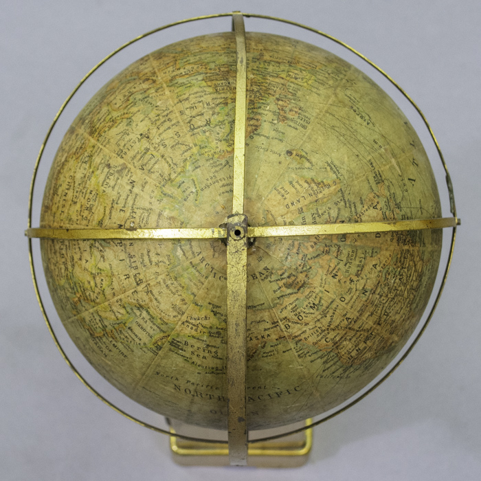
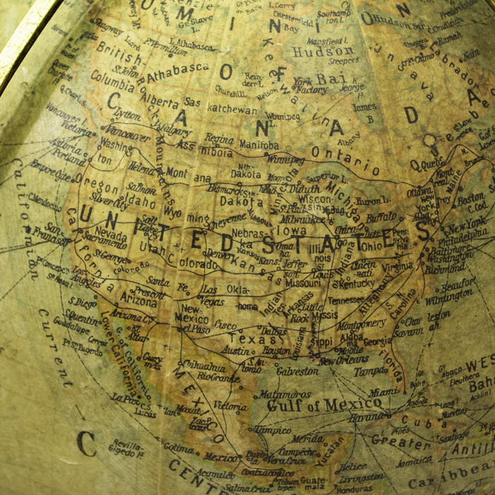
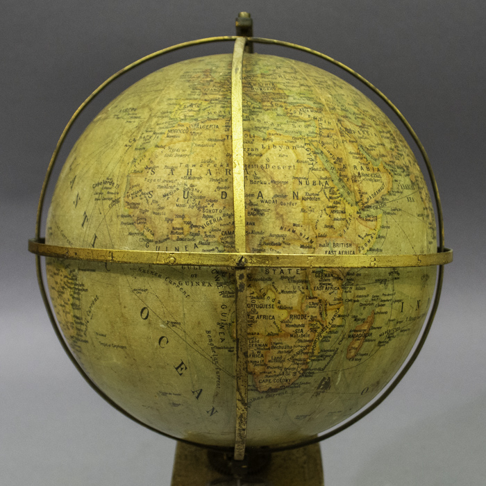
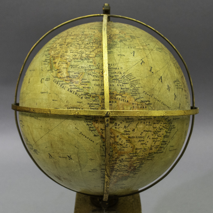
Certain cartographical features date the globe to between 1890 and about 1907. For example, modern-day Oklahoma is divided between Oklahoma, referring to Oklahoma Territory in the west, and Indian Ter., an abbreviation for the Indian Territory in the east. These boundaries reflect the 1890 Oklahoma Organic Act, which created the Oklahoma Territory and Indian Territory out of a combination of the region’s “unorganized” Indian Territory, Greer County, and the Oklahoma panhandle. Prior to the incorporation of the panhandle into Oklahoma Territory, it had been designated as a “neutral strip” starting in 1820 with the drawing of the 36°30′ line in the Missouri Compromise. In 1907, Oklahoma achieved statehood, and was indicated on globes as such at that time or shortly thereafter rather than a territory in any part. A second telling feature is the division of the Dakotas, named Nth. Dakota and Sth. Dakota, in accordance with the admission of North Dakota and South Dakota as the 39th and 40th states in November 1889. In addition, St. Petersburg is indicated in the Russian Empire, consistent with a date before about 1914; regardless Oklahoma prior to statehood dates it earlier as set forth above.
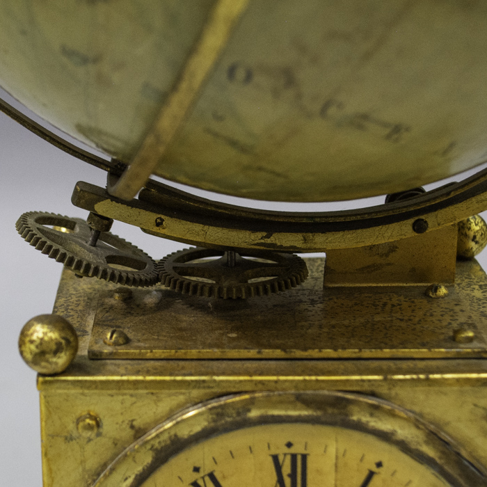
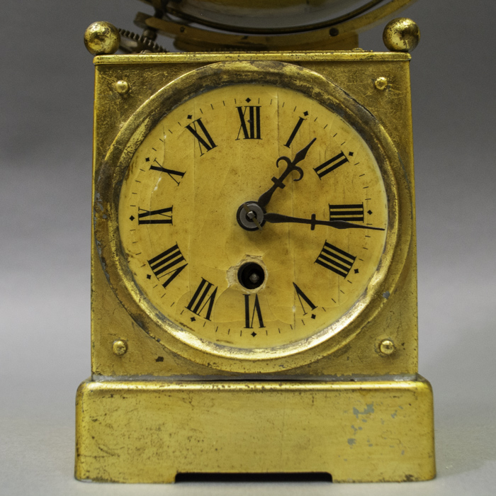
Clocks are exceptionally well suited to be combined with globes because world time is inherently based on the full rotation of the Earth every 24 hours. The time of day or night varies with longitudinal location, divided into twenty four standard time zones across the world. Traditionally, globes are divided into twenty four longitudinal lines set fifteen degrees apart. It takes the Earth one hour to turn fifteen degrees and thus a full rotation of 360 occurs once a day.
Reference:
“Globe Clocks.” NAWCC Bulletin, June 1999, p. 423.


