


Description
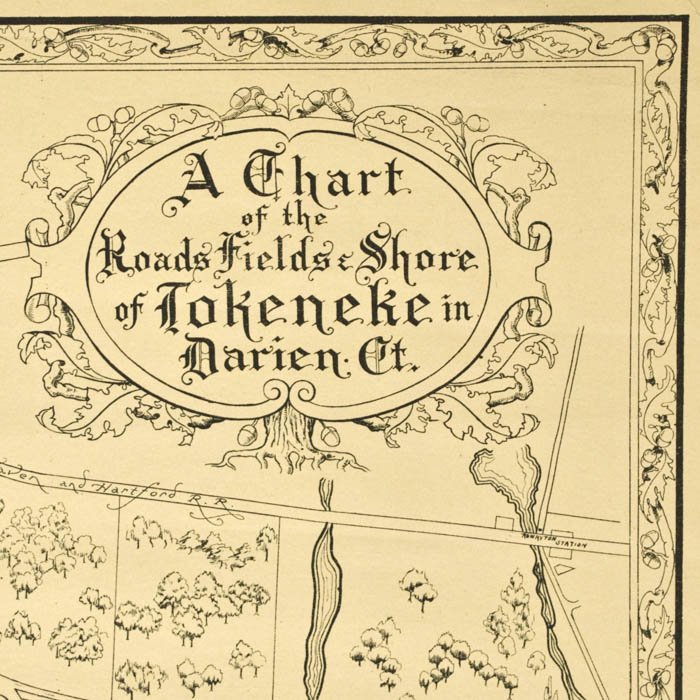
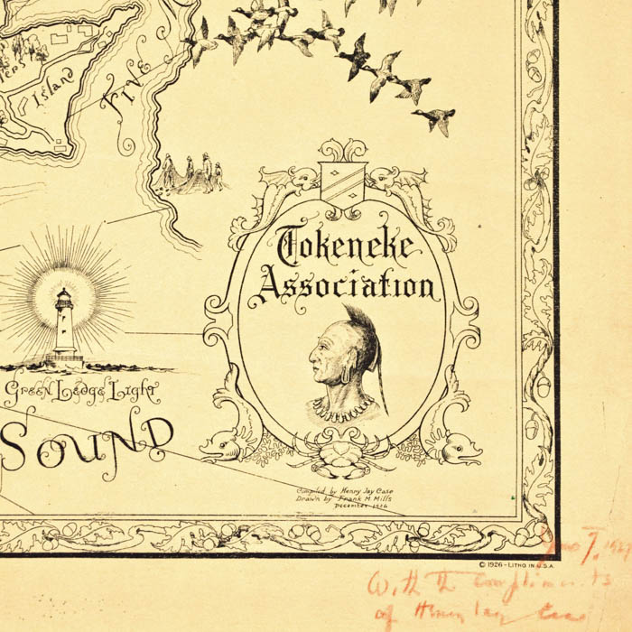
In the upper right, the title “A Chart of the Roads, Fields & Shore of Tokeneke in Darien, Ct.” is enclosed in a traditional mannerist cartouche surrounded by foliage and supported by a tree stump. In the lower right, the Tolkeneke Association emblem is enclosed in a traditional mannerist cartouche supported by dolphins and a crab, and enclosing a profile portrait of a Native American, in reference to the region’s indigenous heritage. The map has a decorative border of intertwined oak leaves and acorns, and other natural foliage. It is uncolored, printed on a creamy white toned paper. It is apparently rare; only one other example, featured in a 2013 Darien Historical Society exhibit on the history of Tokeneke, has been located.. This example was a presentation, as inscribed in red pencil in the lower right margin by the person who compiled the information for the map: “June 7, 1927 / With the compliments of Henry Jay Case.”
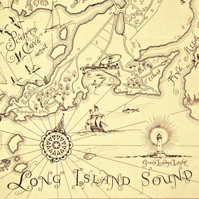
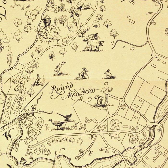
Tokeneke, a coastal neighborhood in Darien, Connecticut, traces its name to the Native American word meaning “the winding water,” referencing the area’s tidal estuaries and rivers. In the 17th century, European settlers arrived and gradually transformed the landscape from dense woodlands and marshes into farmland and homesteads. By the late 19th and early 20th centuries, Tokeneke evolved into a summer retreat for affluent New Yorkers seeking refuge by the sea. Its scenic shoreline, salt meadows, and winding roads made it a picturesque and desirable enclave. Today, Tokeneke retains much of its natural beauty and residential charm, blending coastal New England history with a strong sense of community. The Tokeneke Association, formed in the early 20th century, continues to manage and preserve the neighborhood’s character, private roads, and shared spaces.
Frank M. Mills, was an artist with scientific mind, patenting a photographic printing mechanism on July 18, 1933. His early innovation in image reproduction anticipated the development of the modern photocopier, preceding Chester Carlson’s 1938 invention by several years. His pictorial map of Tokeneke in 1936 reflects a unique blend of artistic vision and technical ingenuity.
Henry Jay Case, who compiled and inscribed the offered map, served as the chairman of the Darien Police Commission until his death in 1940. From his work in compiling the information for the offered pictorial map of Tokeneke, he apparently had a keen interest in local history. Additional information about his life was included in his obituary in The New York Times:
After a public school education he worked for The New York Sun and other newspapers as reporter. During the World War he was an investigator for the Alien Property Custodian’s Office at Washington, D.C. Mr. Case also served as assistant secretary of the New York Stock Exchange. At his death he was connected with Chubb & Son, New York insurance brokers. He served as deputy police commissioner of New York under Commissioner Arthur Wood.
Condition: Generally very good with the usual overall light toning, wear, handling, soft creases. Center horizontal fold, as issued.
References
“F. M. Mills Mechanism For Photographic Printing.” Patent Images. https://patentimages.storage.googleapis.com/8b/e5/af/293556b8611509/US1919030.pdf (8 April 2025).
“History.” Tokeneke Club. https://tokenekeclub.org/history (8 April 2025).
“Henry Jay Case Darien Official.” New York Times. https://www.nytimes.com/1940/02/19/archives/henry-jay-case-darien-official-an-exdeputy-police-commissioner-here.html (8 April 2025).
“Unique Properties.” Tokeneke. https:/s/tokeneke.org/unique-properties/ (8 April 2025).


