

Description
Edward Everett Henry was an illustrator and muralist based in New York City, and later resided in New Canaan, Connecticut, and East Hampton, Long Island. Henry studied at the New York School of Fine and Applied Arts and by 1917 he was teaching there. He enlisted in the army during World War I and applied his artistic talent to working in the Camouflage Corps. After the war, he worked regularly as an illustrator for advertising campaigns, books, and magazines such as the Saturday Evening Post and Collier’s. In 1935 he was commissioned by Ford Motor Company to produce a large world map mural for its building at the San Diego World’s Fair. He then entered into partnership with artists Louis Bouché and Allen Saalburg to design and paint murals for other corporate and commercial projects — the Pennsylvania Railroad and the 1939 New York World’s Fair, among others. Beginning in 1928 until the end of this life he also produced a number of pictorial maps: a double hemisphere world map for the Washington Square Book Shop (1928), a map of the United States for Rand McNally (1930), a map of Trinidad for Barber Asphalt Company (c. 1936-38), a map of the United States showing “your premium dollars at work” for the John Hancock Mutual Life Insurance Company (1958), a map of East Hampton for the Chamber of Commerce (1960), and a series of nine literary maps related to classic works such as Moby Dick and Robin Hood (1953-1961). He also made pictorial estate plans for private clients. As author Stephen Hornbsy notes in his history of pictorial maps, Henry had a gift for “successfully combining text and image” of complex subjects in a manner that is highly effective at conveying information with clarity and visual appeal.
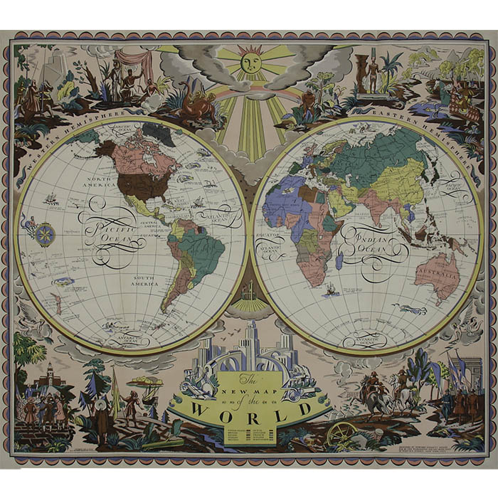
“Designed by Edward Everett Henry. Pub. by the Washington Square Book Shop. 27 West 8th Street, New York City. Copyright 1928 by W.S.B.S. All rights reserved in all countries.”
References:
“E. Everett Henry.” AskArt.com. 2000-2008. http://www.askart.com/askart/h/e_everett_henry/e_everett_henry.aspx (3 November 2008).
“Edward Evertt Henry [1893-1961]: artist, camoufleur & cartographer.” Barron Maps Blog. 9 October 2017. http://www.barronmaps.com/edward-everett-henry-1893-1961/ (4 May 2020).
Hornsby, Stephen J. Picturing America: The Golden Age of Pictorial Maps. Chicago: University of Chicago Press, 2017. pp. 16, 79, 99, 108-109, 119, 183, 243-244, 251.


