


Description
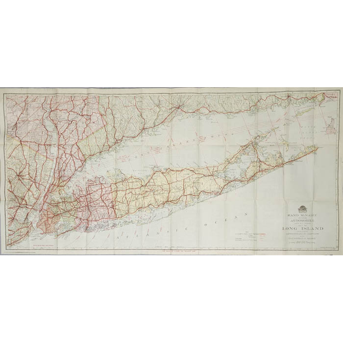
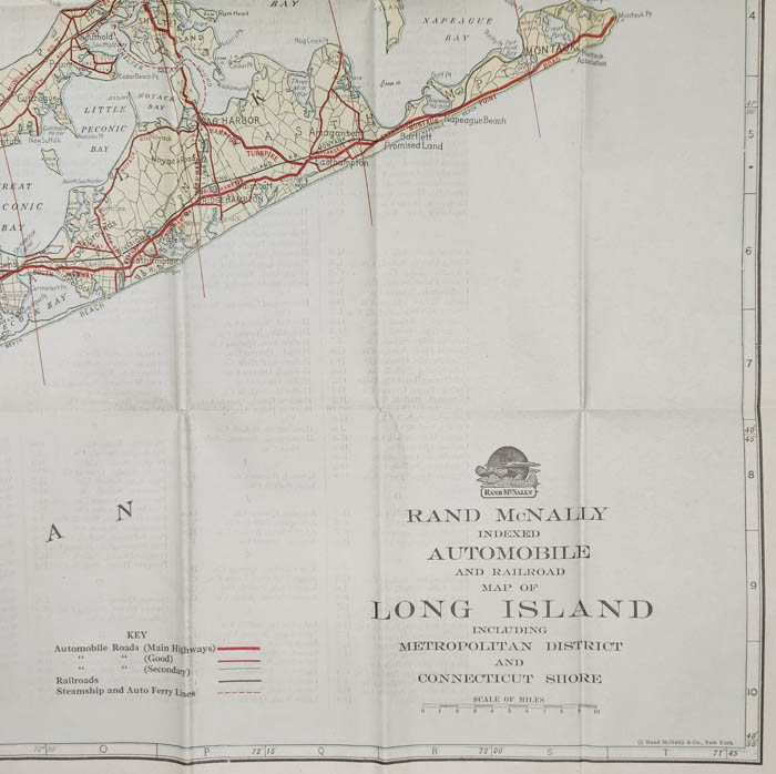
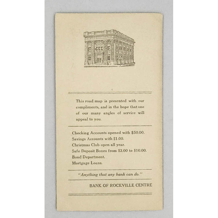
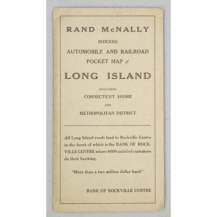
The cover identifies the piece as both an “automobile and railroad” map, highlighting the transition from rail-dominated travel to the rising dominance of the car. A small block of advertising on the front and back covers promotes the Bank of Rockville Centre, claiming “All Long Island roads lead to Rockville Centre” and offering a suite of services from mortgage loans to Christmas Club accounts. The back of the map includes an index of towns across Long Island, New York, and New Jersey, providing users with a navigational tool as well as a promotional artifact.
This map belongs to a broader historical moment in which printed cartography played an active role in shaping public perception and movement. As automobile ownership surged in the early 20th century, maps like this were commissioned and distributed not just by publishers like Rand McNally, but by local businesses hoping to capitalize on new patterns of travel and development. The emphasis on both road and rail indicates a moment of overlap when personal mobility by car was beginning to rival the railroad’s long-held authority, yet the two systems were still presented as complementary. This map, likely published in the 1910s or early 1920s, serves as both a record of infrastructure and a tool of persuasion, encouraging users to see Long Island as a well developed locale for both residence and business.
Condition: Map and covers generally good with the usual overall light toning, handling, and wear. Map folds as issued.
References
“Rand McNally indexed automobile and railroad pocket map of Long Island including Connecticut shore and Metropolitan district.” Brooklyn History. https://mapcollections.brooklynhistory.org/map/rand-mcnally-indexed-automobile-and-railroad-pocket-map-of-long-island-including-connecticut-shore-and-metropolitan-district/. (21 July 2025).