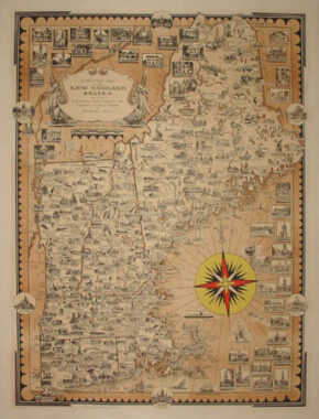
Map, New England, Pictorial, Ernest Dudley Chase, Vintage Print, 1939
Ernest Dudley Chase (1878-1966)
A Pictorial Map of the New England States, U.S.A.
Ernest Dudley Chase, Winchester, Massachusetts: 1939
Signed lower left in pencil: “Et Dudley Chase”
Sepia print with colored highlights
25.25 x 19.25 inches, overall
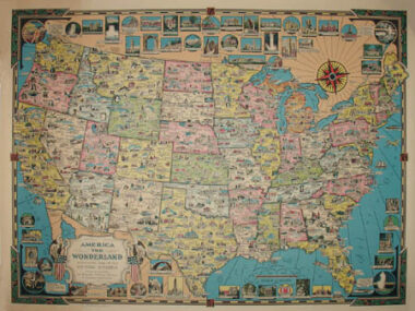
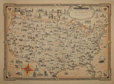
Pictorial map of New England, filled with drawings of buildings, landmarks and historic sites, along with a few animals and depictions of people engaged in activities such as fishing, skiing and gathering blueberries. There are several larger inset illustrations of historic homes, state houses and other buildings, and a striking Art Deco compass rose printed in yellow, red, and black. Geographical features include cities and towns, mountains, rivers, ponds, lakes and hiking trails. The Harvard University Map Collection also owns an example of this map.
Product description continues below.