
![Hartmann Schedel, Secunda etas mundi [World Map], Nuremberg: 1493](https://www.georgeglazer.com/wpmain/wp-content/uploads/2017/09/schedel-world-map.jpg)





Description
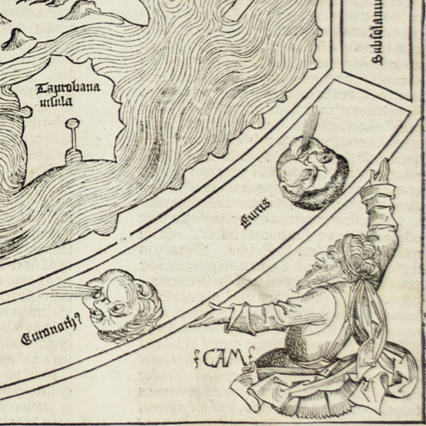
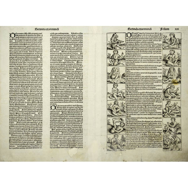
Published in the same year that Columbus’ discoveries in the New World first received publication in Europe, the map appeared in the Nuremberg Chronicle, an eclectic compendium of knowledge, and it is regarded as the last great pre-Columbian concept of the earth. As such, and appearing in one of the most important incunable publications, this is a fascinating and visually dramatic representation of an early Renaissance conception of the world. The offered example is from the first edition, published in Latin. Five months later, a German version was issued.
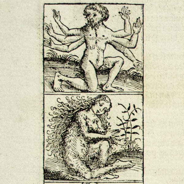
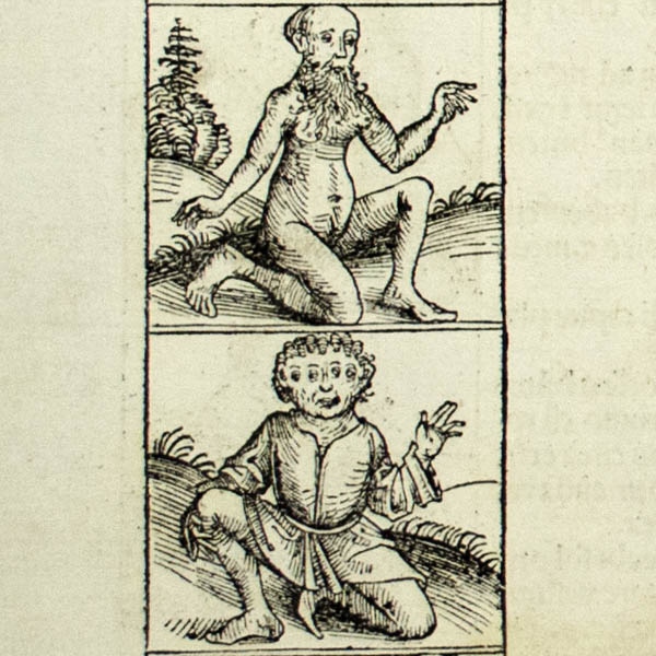
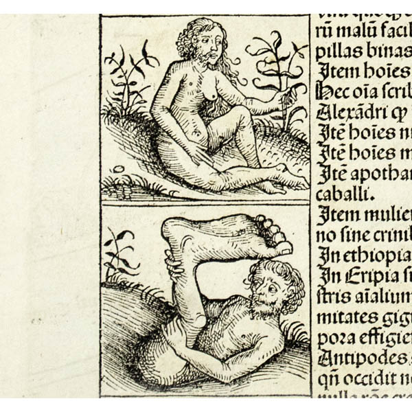
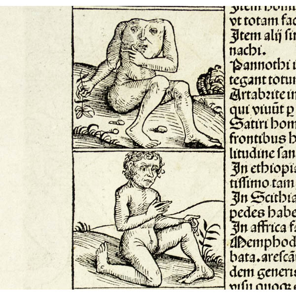
The Nuremberg Chronicle was a compendium of knowledge described by map historian Rodney Shirley as “an amalgam of legend, fancy, and tradition interspersed with the occasional scientific fact or authentic piece of modern learning.” Hartmann Schedel, a Nuremberg physician, served as editor-in-chief. The work was illustrated with this world map, a map of Northern Europe, views of cities, and repeated decorative woodcuts.
Reference:
Shirley, Rodney W. The Mapping of the World: Early Printed World Maps 1472-1700. London: Holland Press, 1983. 19, plate 25.


