
Description
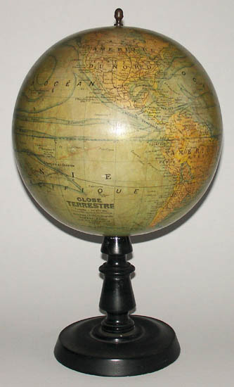
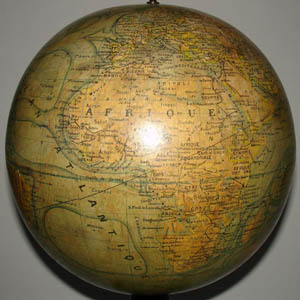
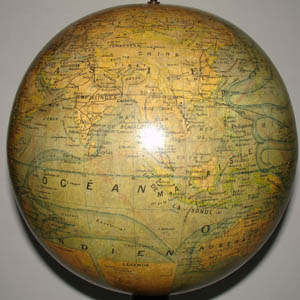
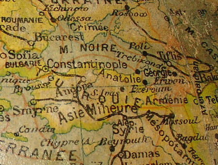
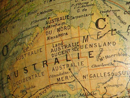
The terrestrial globe is surmounted by a finial, raised vertically on an ebonized wooden stand with a turned central standard and dish base. The globe shows present-day St. Petersburg, Russia, as “Leningrad;” therefore, it was made after 1924. Further, it shows Constantinople rather than Istanbul, indicating a date of manufacture before 1930. In addition, it shows Central Australia as a separate territory, limiting its period from 1927 to 1931. It was produced during the golden era of the French Art Deco period, though the original stand is fairly traditional, typical of earlier periods.
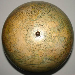
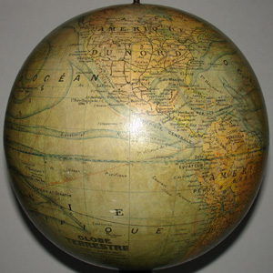
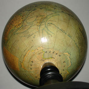
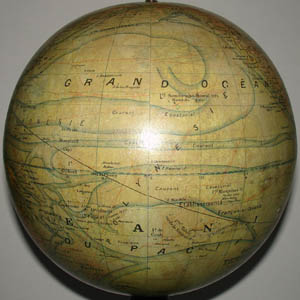
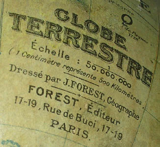
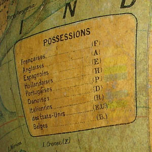
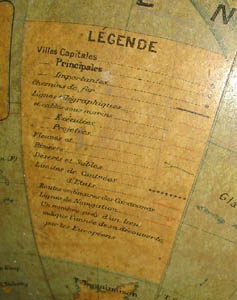
Titled Globe Terrestre [Terrestrial Globe], it packs a remarkably large amount of geographic information into a relatively small globe. Colonies and protectorates of France, England, Spain, Holland, Portugal, Denmark, Italy, Belgium and the U.S. are shaded different colors, according to a key to “Possessions.” A distinctive feature of this globe is the outline and direction of ocean currents prominently shaded in blue. Cartographic information listed in the legend includes capital, major and important cities; railroad lines; aboveground, underwater, finished and projected telegraph lines; rivers; deserts and sands; regional and national boundaries; caravan routes; and shipping lanes. The legend also notes that “a number beside a place indicates the year of its discovery by Europeans.” Oceans are blue, countries are colored in faded shades of yellow, orange and green. Antarctica is cream-colored with a pattern of small blue shapes to suggest its icy environment. The globe is drawn at a scale of one centimeter to 500 kilometers.
Read more about J. Forest in our Guide to Globe Makers.
Cartouche: GLOBE/ TERRESTRE/ Г‰chelle: 1/50.000.000/ (1 CentimЏtre reprГ©sente 500 KilomЏtres)/ DressГ© par J. FOREST, GГ©ographe/ FOREST, Г‰diteur/ 17-19, Rue de Buci, 17-19/ PARIS.


