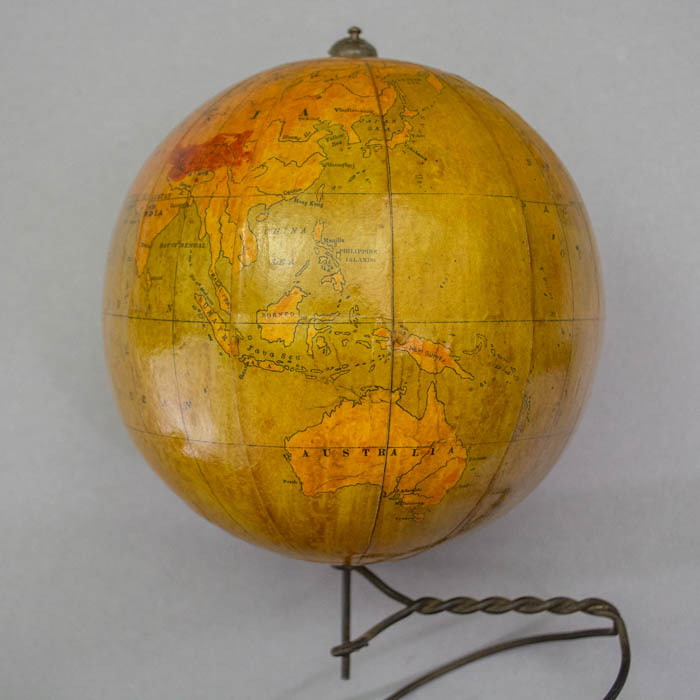
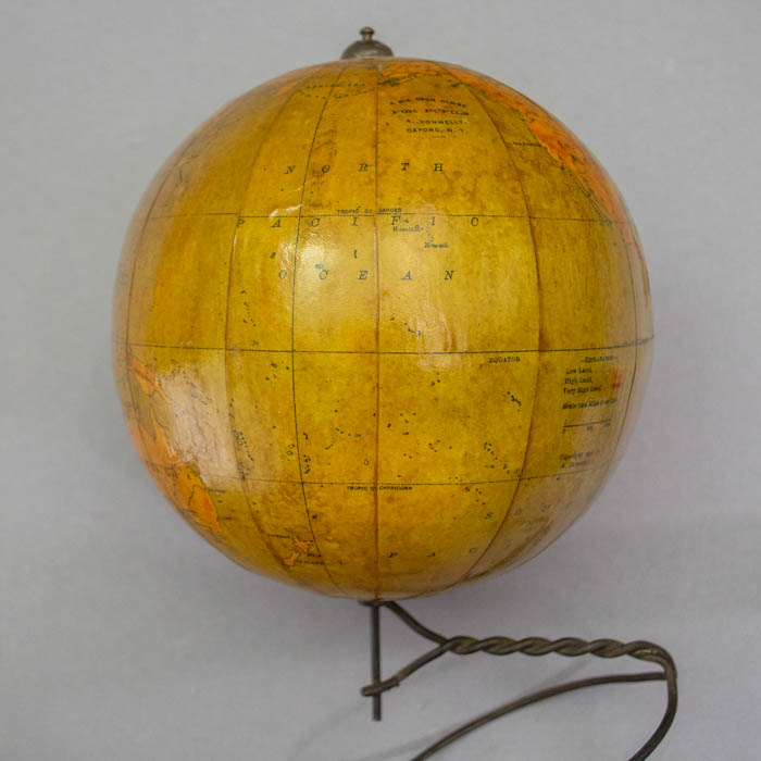
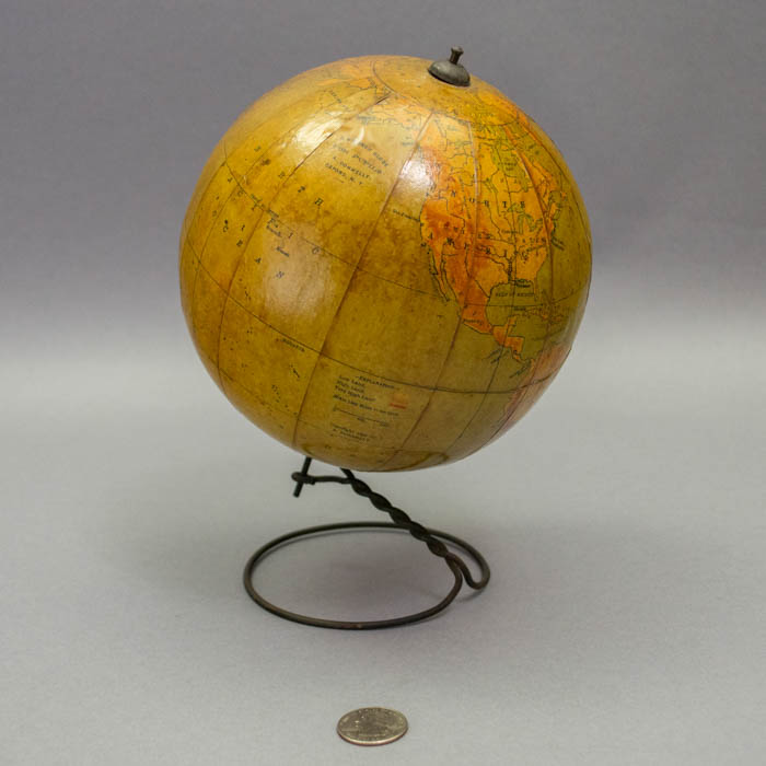
Description
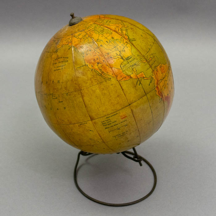
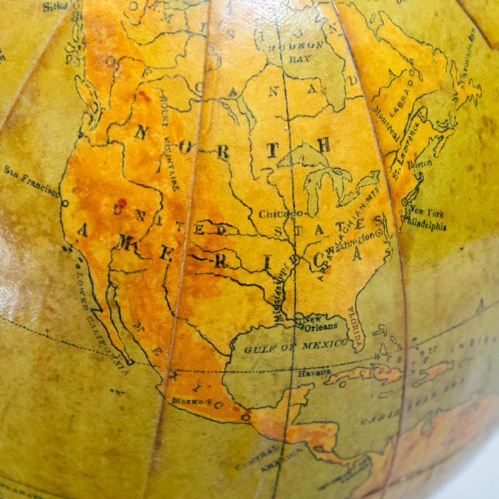
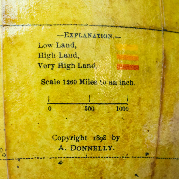
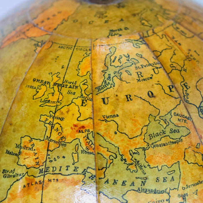
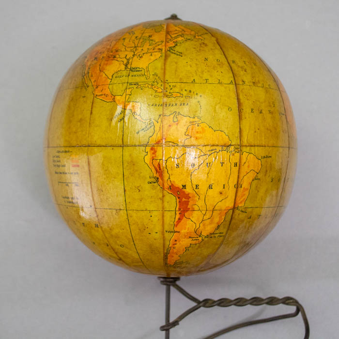
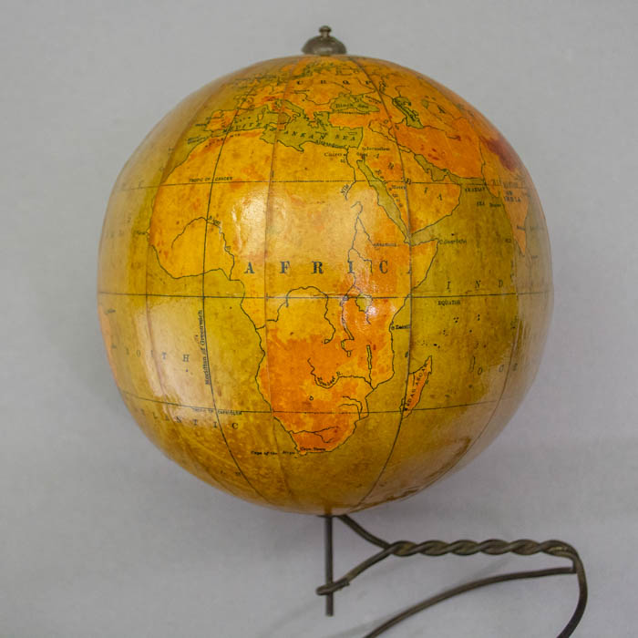
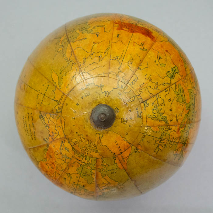
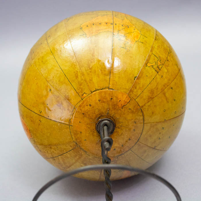
Geographic entities are outlined in green and colored relative to physical geography in three earth tones indicating low land, high land, and very high land. Oceans are green, probably originally blue but now affected by yellow varnish. Geography shows just a few very major cities, even in America. Indeed, no American states are named other than Florida. St. Petersburg is shown in Russia confirming a date before 1914. Rivers are shown but only a few are named. Lines for the equator, l tropics of Cancer and Capricorn and Meridian of Greenwich are present, but without latitude and longitude lines. The northern coast of Antarctica is only partially mapped, with the rest labeled Antarctic Ocean. There is an oval analemma in the Pacific Ocean.
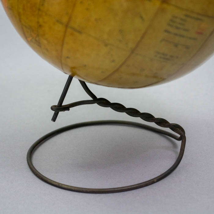
We have not located any biographic information in applicable directories or genealogies of the maker A. Donnelly of Oxford, New York. This globe was nonetheless mentioned in two different geography study guides around the time of its issue in 1902. There is precedence for the style of iron stand of the Donnelly 6-inch globe by other markers, including Rand McNally & Co., of Chicago, Illinois, one of the leading American manufacturers of globes. A 1902 Rand McNally trade catalog illustrates and describes such a globe – originally copyrighted in 1892 — as “No. 1. 6-inch, wire stand Globe, $0.50.”
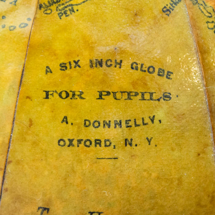
Cartouche: A SIX INCH GLOBE/ FOR PUPILS/ A. DONNELLY,/ OXFORD, N.Y.
Additional Legend: –EXPLANATION–/ Low Land,/ High Land,/ Very High Land./ Scale 1260 Miles to an inch./ Copyright 1898 by/ A. DONNELLY.
Condition: Generally very good, the colors fairly bright, the globe fairly clean, with only minor toning, wear, and handling.
Reference:
A Descriptive Catalogue of Maps, Globes, and School Supplies 1902. 2nd ed. Chicago: Rand, McNally & Company, 1902. p. 86.