Click main image below to view enlargements and captions.

2011, Museum Exhibition, The Greatest Grid, Museum of the City of New York, Antique New York City Maps

The Greatest Grid: The Master Plan of Manhattan, 1811-2011
Museum of the City of New York
Curator and Book Editor: Hilary Ballon
Special Exhibit: Dec. 6, 2011 – July 15, 2012

Six Maps and Views Lent by George Glazer GalleryThe George Glazer Gallery has loaned several maps and views of Manhattan to the Museum of the City of New York for the special exhibition The Greatest Grid: The Master Plan of Manhattan, 1811-2011, celebrating the 200th anniversary of the plan laying out the streets of the city and how it developed over the 19th and 20th centuries. The maps and views are also reproduced and described in the accompanying exhibition book. Historian Hilary Ballon of New York University served as guest curator and as lead author and editor of the book.  An introduction to the show on the Museum of the City of New York’s web site explains the exhibition’s premise:

The Greatest Grid: The Master Plan of Manhattan, 1811-2011 celebrates the 200th anniversary of the Commissioners’ Plan of 1811, the foundational document that established Manhattan’s famous street grid. Featuring an original hand-drawn map of New York’s planned streets and avenues prepared by the Commission in 1811, as well as other rare historic maps, photographs and prints of the evolution of the city’s streets, and original manuscripts and publications that document the city’s physical growth, the exhibition examines the grid’s initial design, implementation, and evolution. The Greatest Grid traces the enduring influence of the 1811 plan as the grid has become a defining feature of the city, shaping its institutions and public life.

Exhibition description continues below.

Description

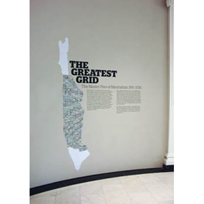
The Greatest Grid proved to be an extremely popular exhibition, drawing the biggest audience in the history of the Museum of the City of New York. Due to the public’s response the show’s run was extended by two months. Most of the items on display were lent by libraries, museums and archives; the George Glazer Gallery is the only antiquarian map dealer among the lenders.  All of the works we lent are featured on this webpage, some photographed at the exhibition.  Click on the images or links for more information about individual items, which will be available for purchase after the exhibition closes.  We have also included a few maps available at the George Glazer Gallery similar to ones from other lenders in the Greatest Grid exhibit, as another chance to buy a museum piece from us.

For more information, read the New York Times review, or order the book based on the exhibition, published in 2012 by The Museum of the City of New York and the Columbia University Press.

References:

Kimmelman, Michael. “The Grid at 200: Lines that Shaped Manhattan.” New York Times. 2 January 2012. https://www.nytimes.com/2012/01/03/arts/design/manhattan-street-grid-at-museum-of-city-of-new-york.html (9 October 2020).

Additional information

Press/Exhibitions Category

Exhibitions