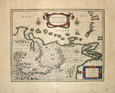
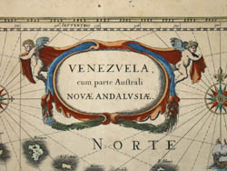
Venezvela, cum parte Australi Novæ Andalusiæ
[Venezuela with part of Southern New Andalusia]
from
Theatrum Orbis Terrarum sive Atlas Novus
Willem Janszoon Blaeu/Joan Blaeu, Amsterdam: Mid 17th Century
Hand-colored engraving
14.75 x 19 inches, plate mark
20.5 x 25 inches, overall
Sold, please inquire as to the availability of similar items.
To view other works by Blaeu, including maps and city views, type "Blaeu" in our search engine.
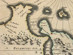
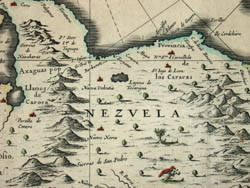
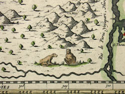
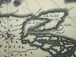
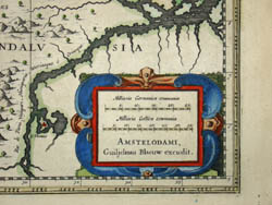
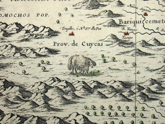
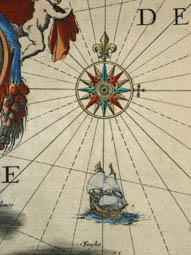
Early Dutch map of Venezuela showing mountains as raised topography, embellished with images of trees and animals such as a bird, ram, and monkeys. Two Baroque cartouches, the main one flanked by cherubs. Ship and two compass roses among rhumb lines in the oceans.
The Blaeu family of cartographers, founded by Willem Janszoon Blaeu (1571-1638) in about 1604, became the largest printer in 17th century Europe and the leading cartographic publisher during the golden age of Dutch map making. Read more about the firm in our Guide to Globe Makers.
References:
Fleet, Christopher. "Joan Blaeu." Pont Maps Biographies. National Library of Scotland. 2000. http://www.nls.uk/pont/bio/blaeu.html (17 September 2002).
Tooley, R.V. Maps and Map-Makers. 4th Ed. New York: Bonanza Books, 1970. pp. 33-34.