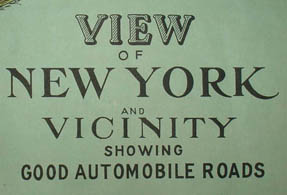
View of New York and Vicinity Showing Good Automobile Roads
George J. Nostrand, New York: c. 1925
Chromolithograph
20.5 x 30.5 inches
Sold, please inquire as to the availability of similar items.

Bird's-eye View Map of New York City
Chromolithograph: c. 1925
Chromolithograph: c. 1925
This item is sold. It has been placed here in our online archives as a service for researchers and collectors.
- Please inquire as to the availability of similar items currently in stock, or use the navigation bar above to browse our site for currently available items.
- Find guidelines for the use of images from georgeglazer.com.
- To see more archived items, view our directory.
- Find information about selling your art and antiques.

 |
 |
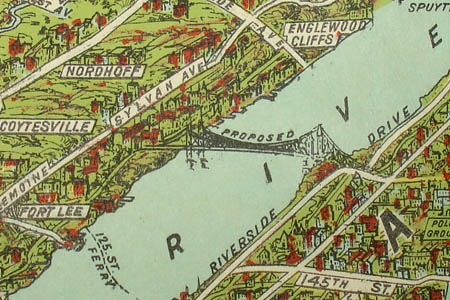
Details showing the proposed George Washington Bridge (left) and the Holland Tunnel (right). | |
 |
 |
 |
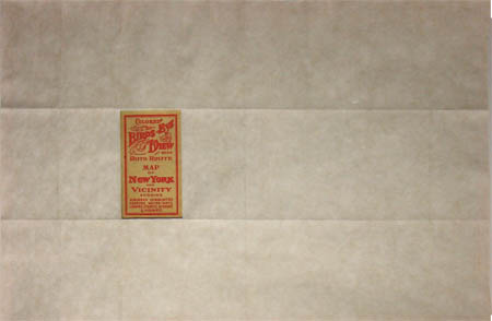 |
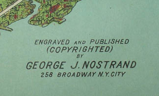
Details of title (above left), publication information (above right), cover (below left), and back of map, unfolded (below right). | |
A large panoramic bird's-eye view of New York City and vicinity, showing "Suburban Communities, Harbors, Water-Ways, Leading Streets, Avenues & Highways" from New York Harbor in the south to Westchester County between the Bronx and White Plains in the north, and parts of Bergen County, New Jersey and Nassau County, Long Island in the west and east. The detailed cartography shows major roads, as well as piers, ferry routes, and buildings. Towns and city neighborhoods are labeled, as are the rivers and other bodies of water.
The land surrounding Manhattan is drawn largely as rolling green hills and wooded areas, with some indications of the topography. The Statue of Liberty and various bridges are drawn as tiny illustrations. An airplane is in the sky and numerous boats are in the rivers and bays. The proposed George Washington Bridge (built 1927-1931) is shown.
August R. Ohman, a New York City engraver and map publisher, published a similar map under his own imprint in 1902 and a second edition in 1907 (online here). Nostrand's version follows the same format but adds buildings, labels and newer structures such as the Holland Tunnel and proposed George Washington Bridge. Nostrand may have acquired the design from Ohman; his business occupied the upper floors of 258 Broadway, where Ohman's firm also operated until around 1925.
This map appeared in the waning years of the heyday of drawn bird’s-eye views of American towns, which lasted from the Civil War to around 1910. Historians estimate that some 4,500 views were produced nationwide during that period. In an era before aviation, the creation of these panoramas was an act of imagination, combining information from city maps, ground-level sketches of buildings and the rules of Renaissance perspective into a convincing aerial view. Hand-drawn views were largely supplanted by aerial photographs in the mid 20th century.
George J. Nostrand was a lithographer and publisher of city and subway maps, active in New York City in the 1920s and 1930s. He published a number of maps of New York City as Nostrand's Indexed Maps and promotional maps for companies including Greyhound and Seaman's Bank.
Map cover text: Colored Birds-Eye View and Good Auto Route Map of New York and Vicinity Showing Suburban Communities, Harbors, Water-Ways, Leading Streets, Avenues & Highways.
Full publication information: Engraved and Published (Copyrighted) by George J. Nostrand, 258 Broadway, N.Y. City.
Reference:
Brennan, Joseph. "Beach Pneumatic." Columbia University. 2004-2005. http://www.columbia.edu/~brennan/beach/chapter25.html (8 April 2011).