Daniel Stopendaal (c. 1650-before 1740) (cartographer)
A. Broeck (engraver)
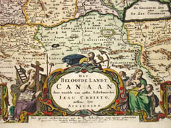
Het Beloofde Landt Canaan door wandert van onsen Salichmaecker Iesu Christo, neffens syne Apostelen
[The Promised Land of Canaan Through Which Jesus Christ Wandered,
According to the Apostles]
Nicolaus Visscher Family of Cartographers, Amsterdam: c. 1680-1700
Hand-colored engraving
11.5 x 19 inches, plate mark
16.5 x 20.25 inches, overall
Sold, please inquire as to the availability of similar items.

Stopendaal/Visscher Holy Land Map
The Promised Land of Canaan
The Promised Land of Canaan
This item is sold. It has been placed here in our online archives as a service for researchers and collectors.
- Please inquire as to the availability of similar items currently in stock, or use the navigation bar above to browse our site for currently available items.
- Find guidelines for the use of images from georgeglazer.com.
- To see more archived items, view our directory.
- Find information about selling your art and antiques.

 |
 |
 |
 |
 |
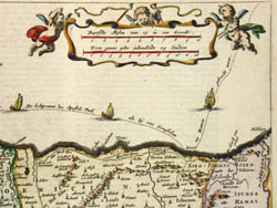 |
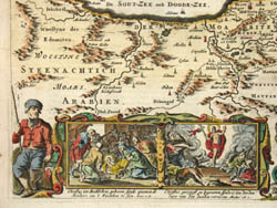
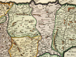
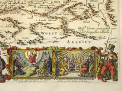
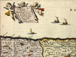
Fine map from an illustrated 17th century Dutch bible showing Canaan, the land promised by God to Moses for the Israelites in the Book of Deuteronomy. The map is oriented with north on the right and the Mediterranean sea at the top. Locations noted on the map include the Sea of Galilee, Nazareth, Bethlehem, Samaria and Israel (spelled "Izreel"). An illustration in the lower right shows the birth of Christ in Bethelem, others illustrations depict the Apostles and scenes from the Gospel of Matthew. Cities and castles are depicted throughout, the various regions divided, colored and outlined. Pictures of ships decorate the sea, with the voyage of the apostle Paul to Rome depicted. Putti bear banners with the key to the map and distance scale. A large decorative cartouche at the bottom center is flanked by allegorical figures and symbolic objects, as well as vignettes from the gospel of Christ.
Daniel Stopendael (or Stoopendael) was a Dutch draftsman and engraver born in Amsterdam. He engraved topographic views and historic and genre scenes, often after his own drawings.
A. Broeck was possibly the Dutch engraver Abraham Broeck, born around 1616 in Amsterdam, where he worked.
The Visscher map publishing firm was operated in Amsterdam by three generations of men all named Nicolaus Janszen Visscher (sometimes written Claes Jansoon Visscher) throughout the 17th century and into the early years of the 18th. The founding Nicolaus (1587-1652) was succeeded by his son (1618-1679) and grandson (1649-1709). Their publications include Atlas Contractus (1660) and Atlas Minor (1680), and their plates were extensively utilized by other mapmakers in Holland and abroad.
Small inscription lower right: "Dese caerte wert gestalt voor het evangelium matthei." [This map is in the form (of the geography) at the time of the Gospel of Matthew.]
References:
Bénézit, E. Dictionnaire critique et documentaire des Peintres, Sculpteurs, Dessinateurs et Graveurs. France: Librairie Gründ, 1966. Vol. 1, p. 146 (Broeck), Vol. 8, p. 140 (Stopendael).
Tooley, R.V. Maps and Map-Makers. 4th Ed. New York: Bonanza Books, 1970. p. 34.