Description
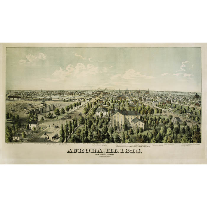
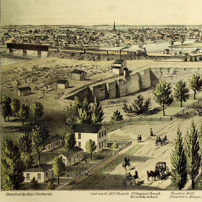
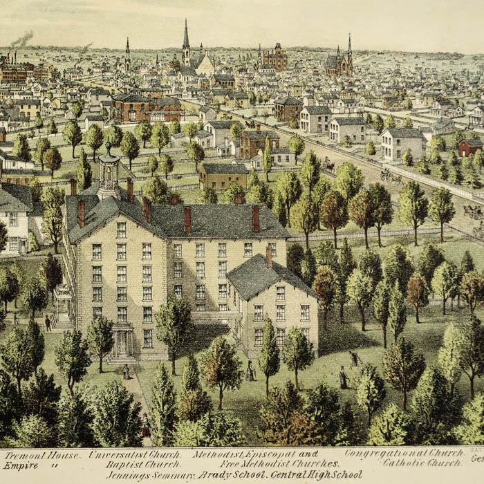
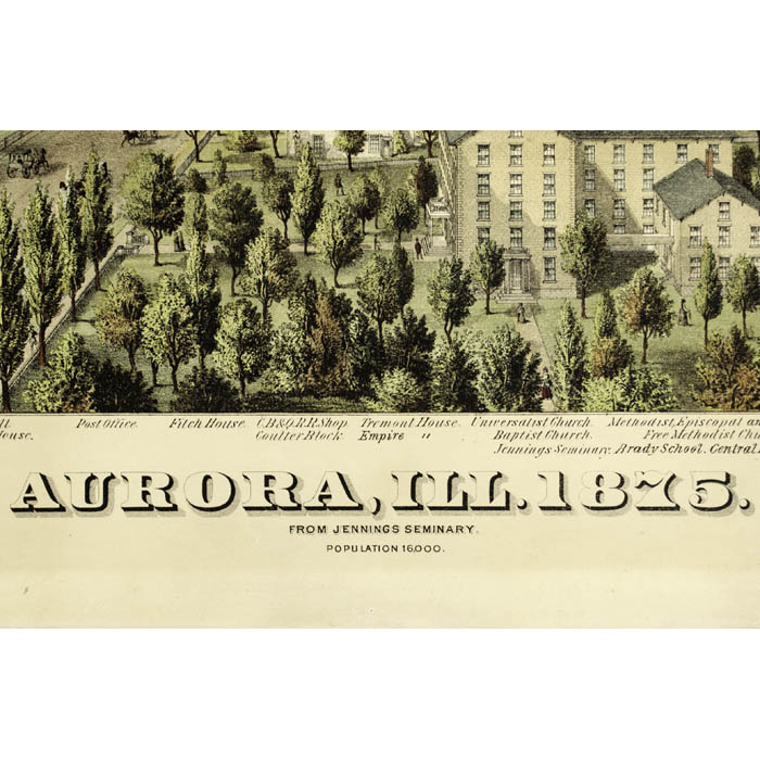
The period from after the Civil War to about 1910 was the heyday of promotional bird’s-eye views of American towns. Historians estimate that approximately 4,500 different ones were produced nationwide during this period. In an era before aviation, the creation of these panoramic maps was an act of imagination, combining information from city maps, ground-level sketches of buildings and the rules of Renaissance perspective into a convincing aerial view. Some were commissioned to promote settlement and development of towns, especially as part of the Westward Expansion of the United States. The prints were also purchased by residents as souvenirs of civic pride. American bird’s-eye views created from drawings were largely supplanted by aerial photographs in the 20th century. Few records remain of the size of the press runs for panoramic maps, but it has been surmised that they were perhaps as few as 100 for a small town, though a typical edition was about 500 copies. Given these small editions and their ephemeral nature, many are now quite scarce.
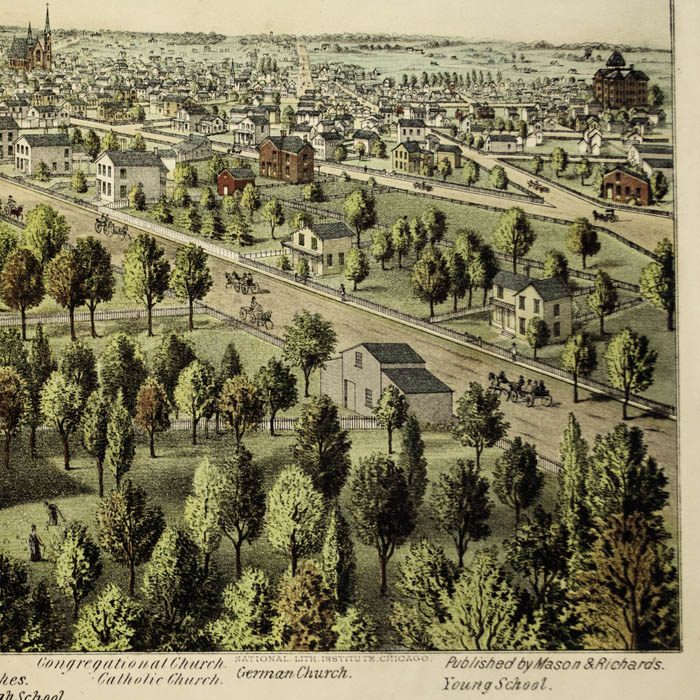
George L. Richards was a draftsman and publisher of panoramic views active in the 1870s. A scholarly catalog of town and city views lists four views drawn by Richards, including three towns in Minnesota published by various publishers: Faribault, Red Wing, and Rochester. He was apparently a partner in Mason & Richards, which published this map.
The National Lithographic Institute in Chicago published other bird’s-eye views, including one of Batavia, New York (1873).
References:
Reps, John William. Views and Viewmakers of Urban America: Lithographs of Towns and Cities in the United States and Canada. University of Missouri Press, 1984. 778, 1909, 1938, 1941.
Wise, Donald A. “Bird’s-Eye Views of Oklahoma Towns.” Originally published in The Chronicles of Oklahoma, vol. 67, no. 3 (Fall 1989): 228- 247. Online Compilation of Historical Documents by Don Wise. 4 June 1998. http://home.earthlink.net/~dawise/view.htm (7 December 2004).

